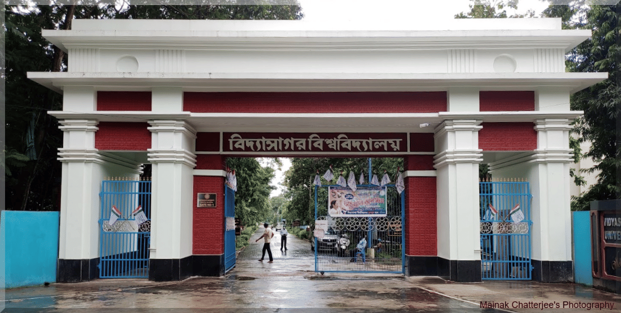
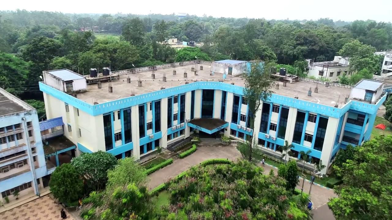
Vidyasagar University M.Sc Geo-Informatics FAQs
Ques. What is the difference between M.Sc Geo-Informatics & Remote Sensing and M.Sc Geography?
Ans. M.Sc Geo-Informatics & Remote Sensing focuses specifically on geospatial technologies, GIS, and remote sensing applications, whereas Geography has a broader scope including physical and human geography. Geo-Informatics provides specialized technical training in spatial analysis and earth observation. The choice depends on career goals - geo-informatics for technology-focused roles, geography for broader geographical studies.
Ques. Is a personal laptop mandatory for this program?
Ans. Yes, a personal laptop is mandatory for this program as it is highly practical and software-intensive. Students need to work with GIS software, remote sensing tools, and spatial analysis applications both in laboratories and for assignments. The university recommends laptops with adequate processing power to handle geospatial software efficiently.
Ques. What are the career prospects after completing M.Sc Geo-Informatics & Remote Sensing?
Ans. Graduates can pursue careers as GIS Specialists, Remote Sensing Analysts, Urban Planners, Environmental Consultants, and Geospatial Technicians. Employment opportunities exist in government agencies, planning departments, environmental organizations, technology companies, research institutes, and consulting firms. The specialized skill set makes graduates highly valued in urban planning and environmental sectors.
Ques. Are there practical training and field work opportunities during the program?
Ans. Yes, the program includes extensive practical training with hands-on experience in GIS software, remote sensing analysis, and spatial data processing. Students also participate in field surveys and projects involving real-world geospatial data collection and analysis. The program emphasizes practical application of geospatial technologies.
Ques. What is the entrance examination pattern for M.Sc Geo-Informatics & Remote Sensing admission?
Ans. The entrance examination is typically a written test covering topics from undergraduate geography and earth sciences curriculum including geography, geology, and environmental science. The exam assesses conceptual understanding, analytical skills, and geographical knowledge. Detailed syllabus and sample papers are available on the university website. Candidates are advised to refer to previous years question papers for better preparation.
Ques. Can students from non-geography backgrounds apply for M.Sc Geo-Informatics & Remote Sensing?
Ans. Students with Bachelor's degrees in related disciplines such as Physics, Mathematics, or Environmental Science may be considered for admission based on merit evaluation. However, candidates must have studied relevant subjects at the undergraduate level or possess equivalent knowledge. The university evaluates applications on a case-by-case basis, and interested candidates should contact the admissions office for specific guidance regarding their eligibility.


.png?h=78&w=78&mode=stretch)


.png?h=72&w=72&mode=stretch)


Comments